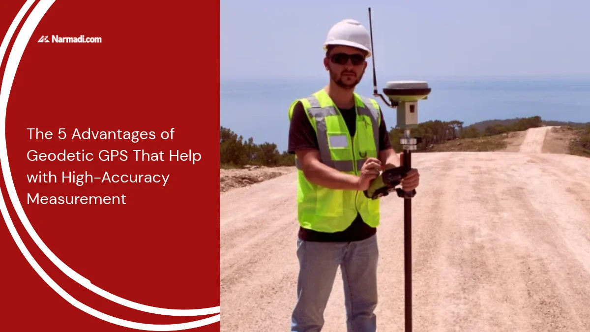
Geodetic GPS (Global Positioning System) is a position monitoring system that also uses satellite signals to determine the location of a point on the Earth’s surface to the centimetre or millimeter level. One of the advantages of geodetic GPS is that it helps with measurements with high accuracy.
The other advantages of geodetic GPS that they have include high measurement accuracy, independence from topography, and minimizing fraud in measurements.
This article will further inform you about the advantages of geodetic GPS that might help with measurements with high accuracy.
The Advantages of Geodetic GPS
Like any other technology, a geodetic GPS has several advantages that can be utilized. The advantages of geodetic GPS include high measurement accuracy, independence of topography, and minimizing fraud in measurements. Here are the advantages of a geodetic GPS:
1. High measurement accuracy
One of the main advantages of geodetic GPS is its high measurement accuracy. This device can provide positioning accuracy across a wide spectrum, up to millimeter units.
2. Weather-independent
The use of geodetic GPS does not depend on the weather. This tool is able to capture signals from satellites when the weather conditions are not clear. You can use it during the day, night, or even in the rain, as long as the satellites are transmitting sufficient signals.
3. Independent of topography
Independent of the topography of the measurement area is another advantage of geodetic GPS. The method it uses to make measurements is terrestrial, which calculates distances and angles between points. This method is not affected by topographical conditions, such as slope, elevation, or obstacles.
4. Effective and efficient use
The ease of using geodetic GPS benefits effectiveness and efficiency in terms of time, cost, and energy. The ease of setting up the equipment significantly reduces labor time and operational overhead, making fieldwork far more effective and efficient.
5. Minimizing fraud in measurements
Another advantage of geodetic GPS is its ability to minimize fraud in measurements. The data from the measurement results of this tool is raw, so it is impossible to change or manipulate. The raw measurement data is then processed by software to check the quality and validation of the data.
Integrating with Modern Surveying Ecosystems
In addition to their advantages as standalone devices, geodetic GPS units can also maximize their potential when integrated into a geospatial ecosystem. Currently, these devices are rarely used in isolation.
By leveraging advanced data networks and real-time processing, operational results are optimized. Here are examples of their integration into the broader geospatial ecosystem:
Seamless Integration with the CORS Network
Most geodetic receivers are designed to connect directly to Continuously Operating Reference Stations (CORS). This significantly speeds up workflow setup for large-scale infrastructure projects.
Advanced Data Processing
Raw data collected in the field can be transferred to specialized surveying software. From there, the data can be processed to instantly generate accurate 3D models, topographic maps, and Computer-Aided Design (CAD) results.
Multi-Constellation Support
Modern geodetic systems can rely on multiple satellite constellations. By simultaneously tracking GPS, GLONASS, Galileo, Beidou, and QZSS satellites, devices can ensure maximum signal availability and reliability.
By prioritizing precision, reliability, and long-term project success, geodetic GPS is highly beneficial. As geospatial technology advances, real-time kinematic (RTK) capabilities and software integration make these devices stand out.