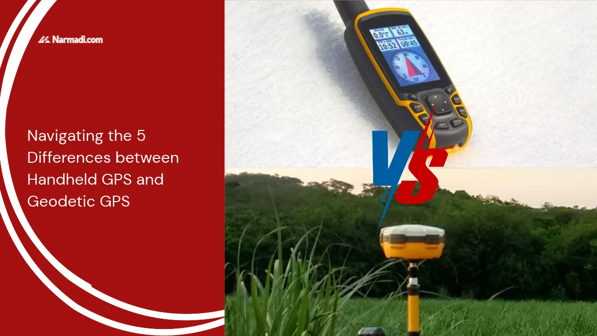

Although both are used as navigation systems, many people still don’t realise there is a difference between handheld GPS and geodetic GPS.
The difference between handheld GPS and geodetic GPS machines lies in some aspects, although both are used using satellite signals to determine location.
This article will inform you of the difference between handheld GPS and geodetic GPS for you to consider before determining the right device for the navigation system.
The Handheld GPS
Handheld GPS (Global Positioning System) is a handheld navigation device designed for portable use. It does not require an internet or cellular signal to operate. A handheld GPS works by receiving signals from satellites to determine the user’s position in real-time.
With its ability to function independently even in areas with no network, this device is useful for mountain climbers, forest explorers, sailors, and even SAR (Search and Rescue) teams.
The Geodetic GPS
Geodetic GPS (Global Positioning System) is a position monitoring system that also uses satellite signals to determine the location of a point on the Earth’s surface to the centimetre or military level. This tool is essential in applications that require high precision, such as land surveying, geospatial mapping, construction, mining, and scientific research.
The Difference
Although both use satellite signals to determine location, handheld GPS and geodetic GPS have different purposes and specifications. Here are some of the differences between handheld GPS and geodetic GPS:
1. Accuracy
Handheld GPS: Has lower accuracy, usually only in the range of meters.
Geodetic GPS: Has very high accuracy, reaching up to centimeters or even millimeters.
2. Application
Handheld GPS: Used as a personal navigation tool for outdoor activities, hiking, or search and rescue.
Geodetic GPS: Used in surveying, mapping, construction, geodesy, and other fields that require high precision.
3. Features
Handheld GPS: Has features such as a digital compass, barometric altimeter, topographic map, track log, waypoints, and interactive SOS.
Geodetical GPS: Features such as high-precision measurement and data synchronization.
4. Portability
Handheld GPS: Lightweight and easy to carry.
Geodetical GPS: Larger in size and more complex.
5. Price
Handheld GPS: Has a more affordable price compared to geodetic GPS.
Geodetic GPS: This has a higher cost compared to handheld GPS.
Here are the differences in a nutshell:
| Aspect | Handheld GPS | Geodetic GPS |
| Accuracy | Only in the range of meters | Reaching up to centimeters or even millimeters |
| Usage | General (outdoor or recreational) | Professional (land surveying, construction, and geodesy) |
| Features | Digital compass, barometric altimeter, topographic map, track log, waypoints, interactive SOS | High-precision measurement and data synchronization |
| Portability | Lightweight, easy to carry | Larger and complex |
| Price | Affordable for general use | Expensive, as it is used for technical projects |
Those are the differences between handheld GPS and geodetic GPS that you can consider when choosing the right device for your personal needs.
If your primary needs include general outdoor navigation, portability, and user-friendly features, a handheld unit is undoubtedly the right choice. By taking advantage of the key advantages of handheld GPS, users can make the most of the device for expeditions to remote areas and field tracking.
Conversely, a geodetic GPS is essential for applications requiring precision down to less than one centimeter. Users can make the most of it for land surveying, large-scale construction, or professional geodesy.
Ultimately, you need to identify the scope of your fieldwork first. From there, you can choose the most efficient and cost-effective positioning technology for your specific application.